The Y Points Shooting Plan: Divide the entire Yangtze River into 62 equal sections on Google Earth. Each section is 100 km long. Mark the 63 dividing points: Y1-Y63. Start from Y1 at the source and repeat the process 63 times until Y63 at the river’s mouth is reached and photographed. © Yan Preston Wang
Y2: 100 km from the Yangtze River's source. © Yan Preston Wang
Y8: 700 km from the Yangtze River's source. © Yan Preston Wang
Y8: 1,000 km from the Yangtze River's source. © Yan Preston Wang
Y19: 1,800 km from the Yangtze River's source. © Yan Preston Wang
Y25: 2,400 km from the Yangtze River's source. © Yan Preston Wang
Y32: 3,100 km from the Yangtze River's source. © Yan Preston Wang
Y38: 3,700 km from the Yangtze River's source. © Yan Preston Wang
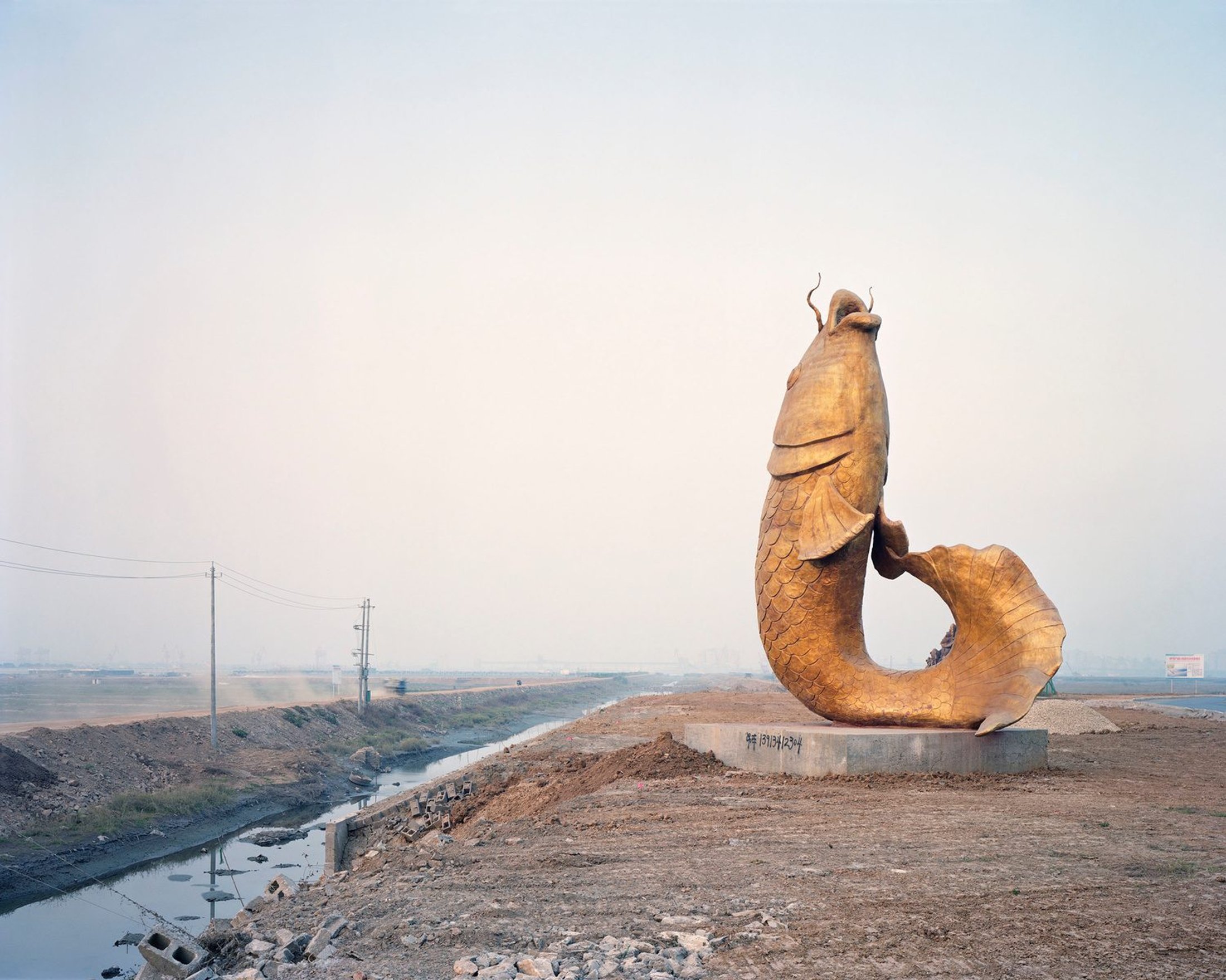
Y39: 3,800 km from the Yangtze River's source. © Yan Preston Wang
Y41: 4,000 km from the Yangtze River's source. © Yan Preston Wang
Y45: 4,400 km from the Yangtze River's source. © Yan Preston Wang
Y53: 5,200 km from the Yangtze River's source. © Yan Preston Wang
Y54: 5,300 km from the Yangtze River's source. © Yan Preston Wang
Y58: 5,700 km from the Yangtze River's source. © Yan Preston Wang
Y60: 5,900 km from the Yangtze River's source. © Yan Preston Wang
Y63: 6,200 km from the Yangtze River's source—the final point of the project, the river's mouth. © Yan Preston Wang