Mother River
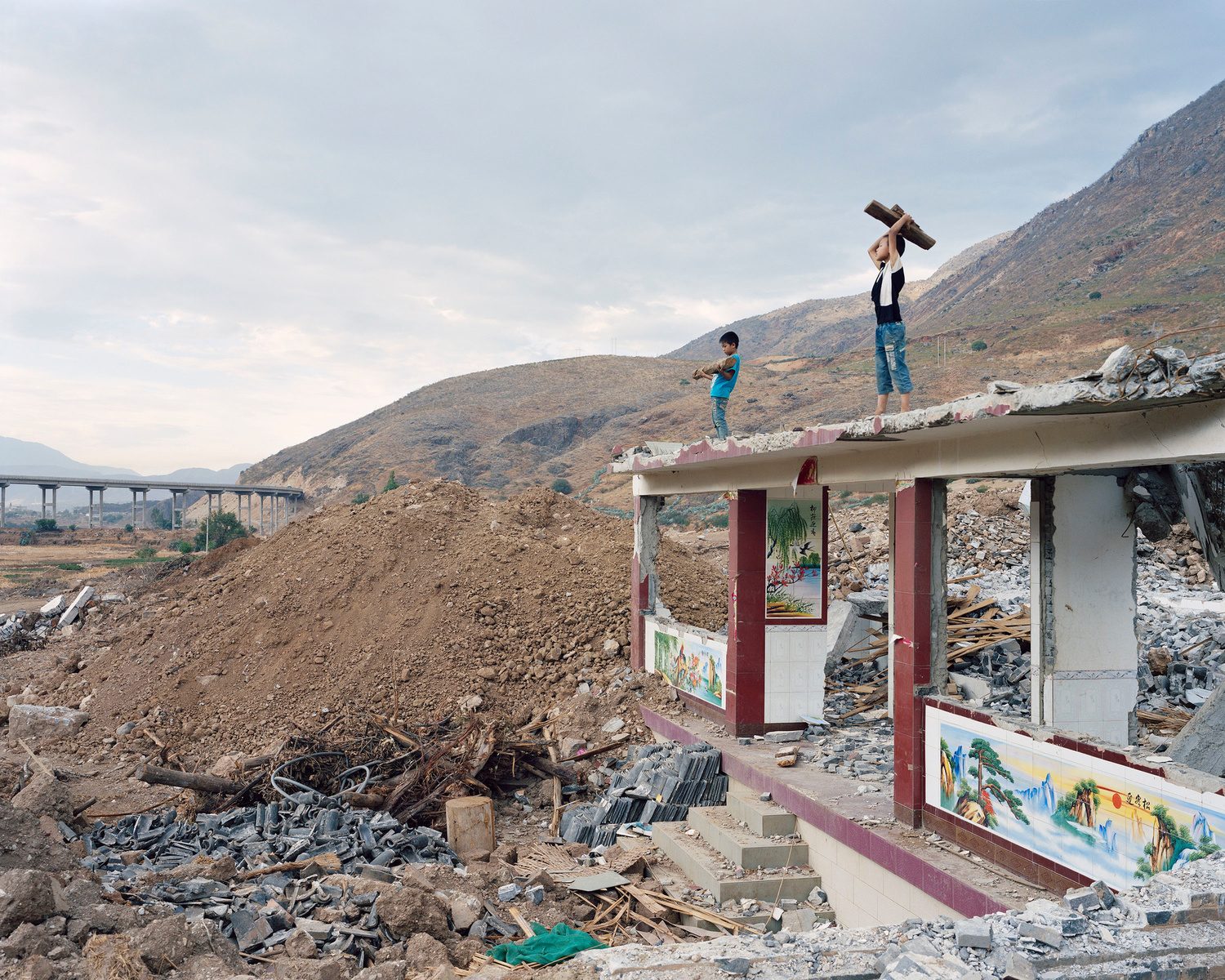
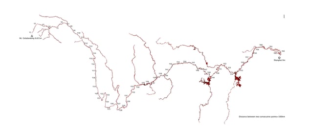
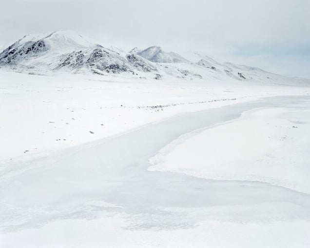
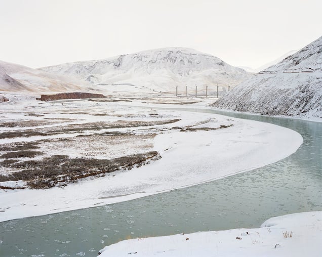
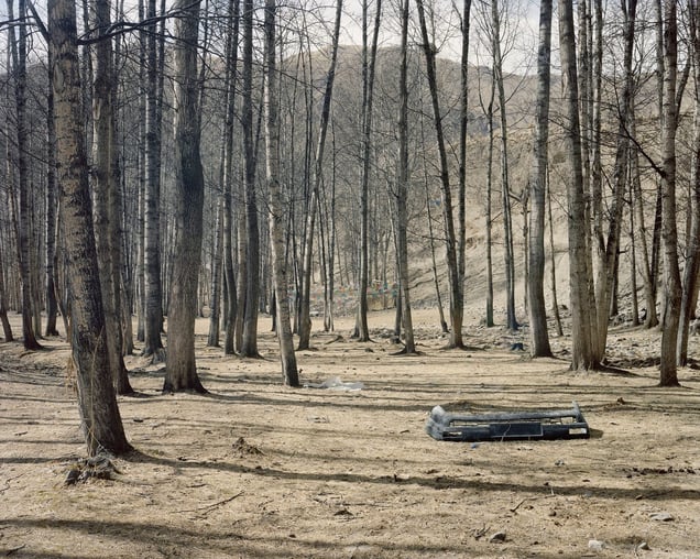
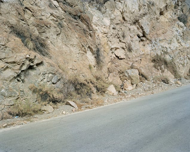
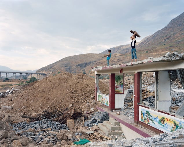
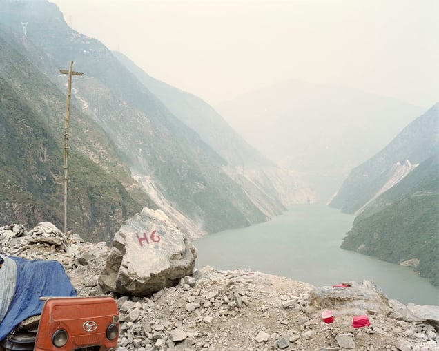
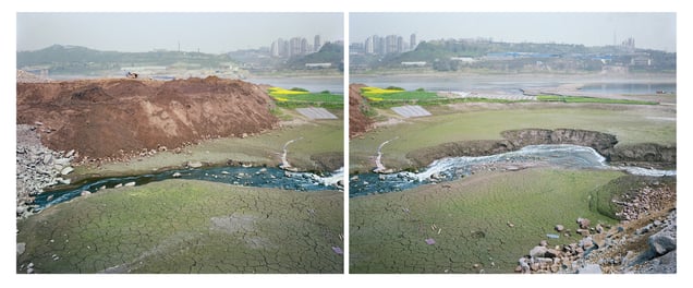
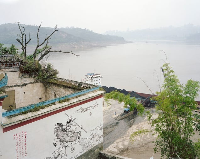
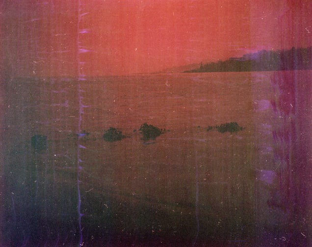
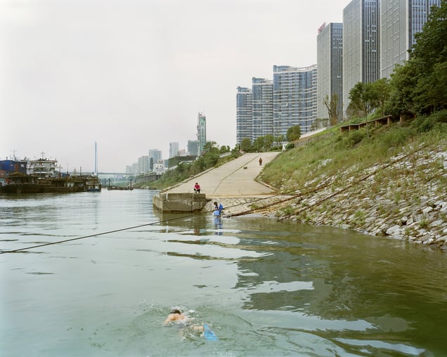
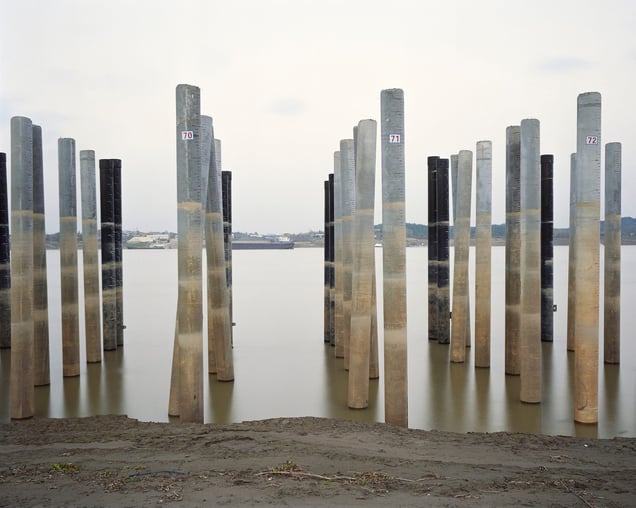
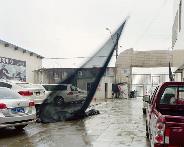
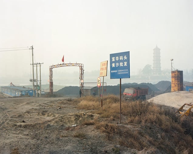
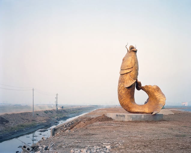
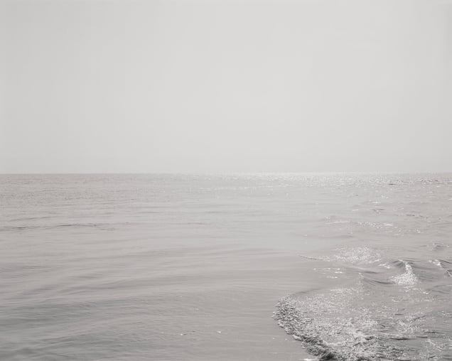
Mother River is a photographic odyssey that is remarkable both for its pictures and its story. Over aperiod of four years, Yan Preston documented the entire Yangtze River, often known as China’s Mother River. The epic project follows a simple premise: to photograph the 6,211km route of the river, using a strict "point system" to photograph at precisely every 100 kilometres. The result is an insightful look at the whole inner life of China, ranging from the high Tibetan Plateau through the Three Gorges and finally reaching Shanghai.
Photos
16
Status
Public
Created
Jul 01, 2016
Updated
Feb 09, 2022
Categories
No categories selected
Photos (16)
File:
Map Drawing.jpg
File:
Y2.jpg
File:
Y8.jpg
File:
Y11.jpg
File:
Y19.jpg
Cover
File:
Y25.jpg
File:
Y32.jpg
File:
Y38(D).jpg
File:
Y39.jpg
File:
Y41.jpg
File:
Y45.jpg
File:
Y53.jpg
File:
Y54.jpg
File:
Y58.jpg
File:
Y60.jpg
File:
Y63.jpg
Add To Collection
No photos
Collaborated