
The Limits of France, The Limits of a Territory
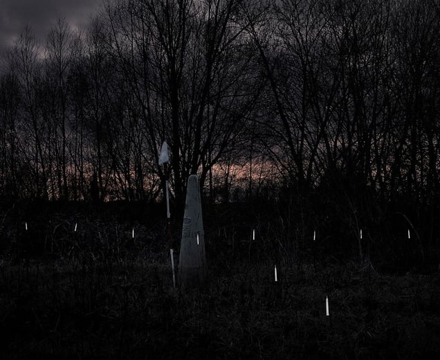
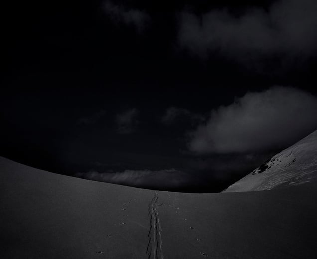
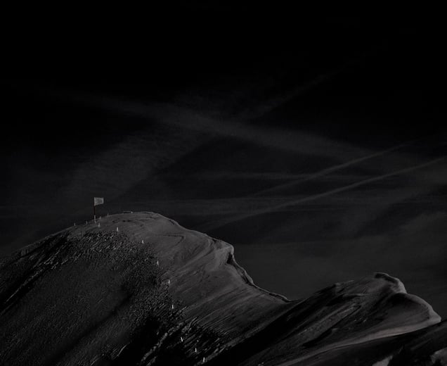
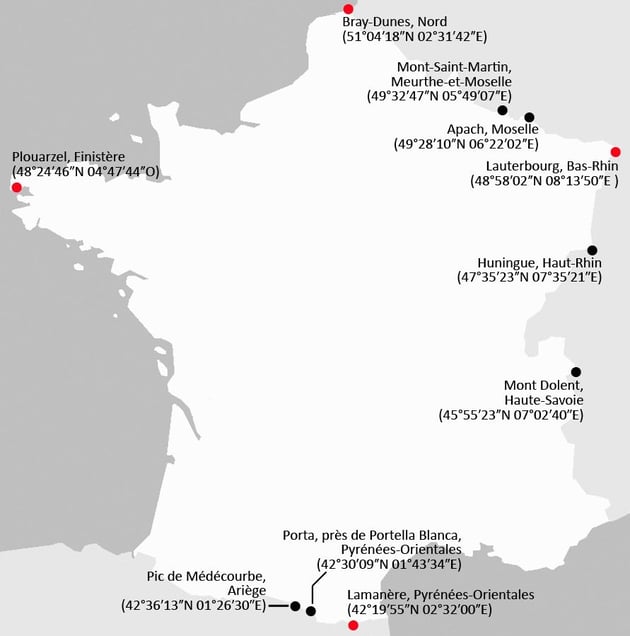
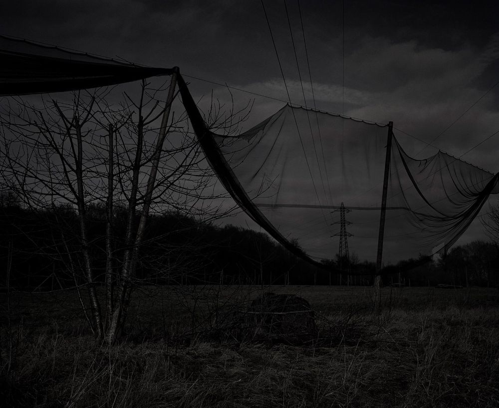
Since the Schengen Agreement, implemented by France in 1995, and which provide the free movement of persons and goods within the borders of the signatory countries of the area, the boundaries of my country have become vague. It became for me, over time, a broken line, and a porous, blurred area. The first Arab revolutions, from April 2011, with Tunisian migrants landed on the Italian coasts, and the Schengen agreements modified in a hurry, remind me of these notions of boundaries and the actual existence of these limits. I can then represent to myself, gradually, a mental map of France. However, the contours remain imprecise. I then need to approach these lines, and to go to the edge of the territory. The very fact of positioning myself on the frontiers of France helps me to redefine its contours, and remind me of their reality. This is questioning me about the real limits of a territory (natural, legal ...), its interior, exterior, and the possibility of crossing them. Then, how to make sensible and perceptible, with image, this sensation of "the end of the end" and the existence of these limits? Go to strategic places on French border (the extreme points of continental France and its "international tripoints"...) and understand these limitations. Record, through photography, from these positions, the different points of views, inside and outside and say "Here I am on the edge of the territory."
Photos (7)