Photos (10)

File:
6. Paul Harmon (Wandjiwalgu Country) - Mutawintji 2 - 2 x 2 metres.jpg
File:
4 Paul Harmon (Wailwan Country) - Murrawombie - 2 x 3 metres (Custom).jpg
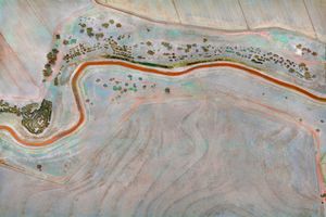
File:
5 Paul Harmon (Kamilaroi Country) - Narran Lakes - 2 x 3 metres (Custom).jpg
File:
3. Paul Harmon (Wailwan+Kamilaroi+ Barranbinya Country) - Brewarrina - 2 x 3 metres (Custom).jpg
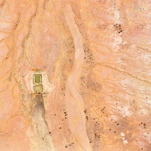
File:
2 Paul Harmon - Griffith - 2 x 3 metres (Custom).jpg
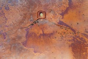
File:
1 Paul Harmon (Wandjiwalgu Country) - White Cliffs 1 - 2 x 3 metres (Custom).jpg
File:
7 Paul Harmon (Wandjiwalgu Country) - Mutawintji 1 - 2 x 2 metres .jpg
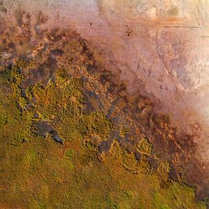
File:
8 Paul Harmon (Wailwan Country) - Macquarie Marshes - 2 x 2 metres.jpg
File:
9 Paul Harmon (Wandjiwalgu Country) - White Cliffs 2 - 2 x 2 metres.jpg
File:
10. Paul Harmon (Wandjiwalgu Country) - White Cliffs 3 - 2 x 2 metres.jpg
Add To Collection
No photos
Collaborated