
Watershed: The French Broad River
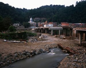
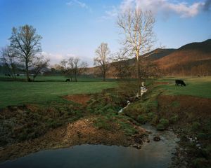
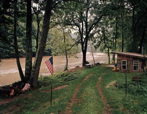
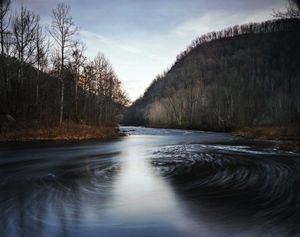
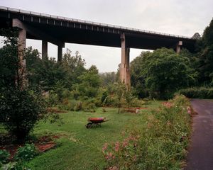
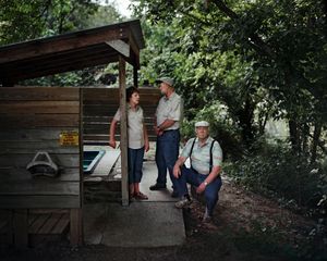
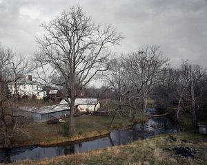
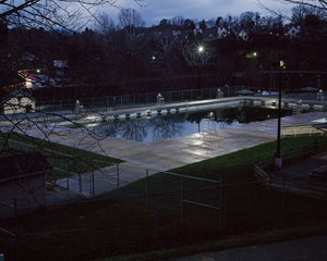
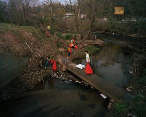
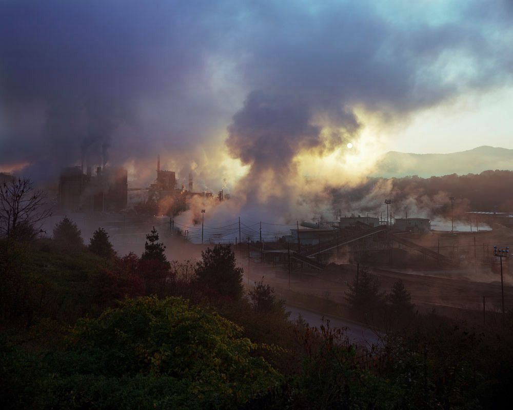
A common misconception of a watershed is that it’s all about the water. While water does play a large part, the land plays an even larger role by directing the water to a common point, such as a river or ocean. Thus human impact on the land directly affects the water that runs over it. With this project I intend to highlight this relationship between the land, water, and man, within the Mississippi River watershed. This is a long-term series of work that aims to define the Mississippi River watershed, the largest watershed in North America, in terms of its smaller pieces. I intend to document the four corners of the watershed in a series of chapters. The French Broad, and the Tennessee watersheds make up the southeastern corner of the Mississippi watershed. In the 1950s The French Broad River was one of the most polluted in the country. A local writer Wilma Dykeman described the condition of the river as having "white scum that caps the water's blackness for mile after mile." The river was beset with pollution from erosion, which was caused by deforestation, pollution from heavy industry, and the rapid development of the cities within the watershed. The French Broad Watershed has experienced an extraordinary rebirth over the past 40 years. The passage of the Clean Water act in 1972 put heavy limits on the pollution that industry is allowed to discharge into the waters of the United States. As a result, the French Broad became a much healthier watershed that now supports a thriving local ecology and provides a recreational resource for the local community. Due to weak enforcement of the Clean Water Act’s mandates and consistent non-point source pollution, the French Broad River is now becoming less healthy for the first time since the passage of the Clean Water Act, which threatens the reversal of such enormous progress. This work shows the constant change that occurs within the watershed of The French Broad River due to man's presence, as well as natural causes such as floods and erosion. Beginning at the headwaters of the French Broad and following the river through Western North Carolina into Tennessee, where it joins with the Holston River to form the Tennessee River, this project documents the development and use of the watershed. By documenting the river itself, the landscape of industry and homes, and the citizens who use the river and work to protect it, this project creates a portrait of the many varied aspects that make up a watershed and ultimately emphasizes the importance of sustainability movement that is growing in the local community and beyond.
Photos (11)